
Traverse & closure
Enter bearings and distances — quadrant or azimuth, DMS, decimal, or packed Topcon-style DDD.MMSS — and watch live running coordinates, misclosure, and precision ratio (e.g. 1:12,510) update as you type.
COGO Survey Calculator is a field-ready iOS app for land surveyors: close and balance traverses, solve curves and intersections, subdivide parcels, and hand off CAD-ready files — all completely offline.


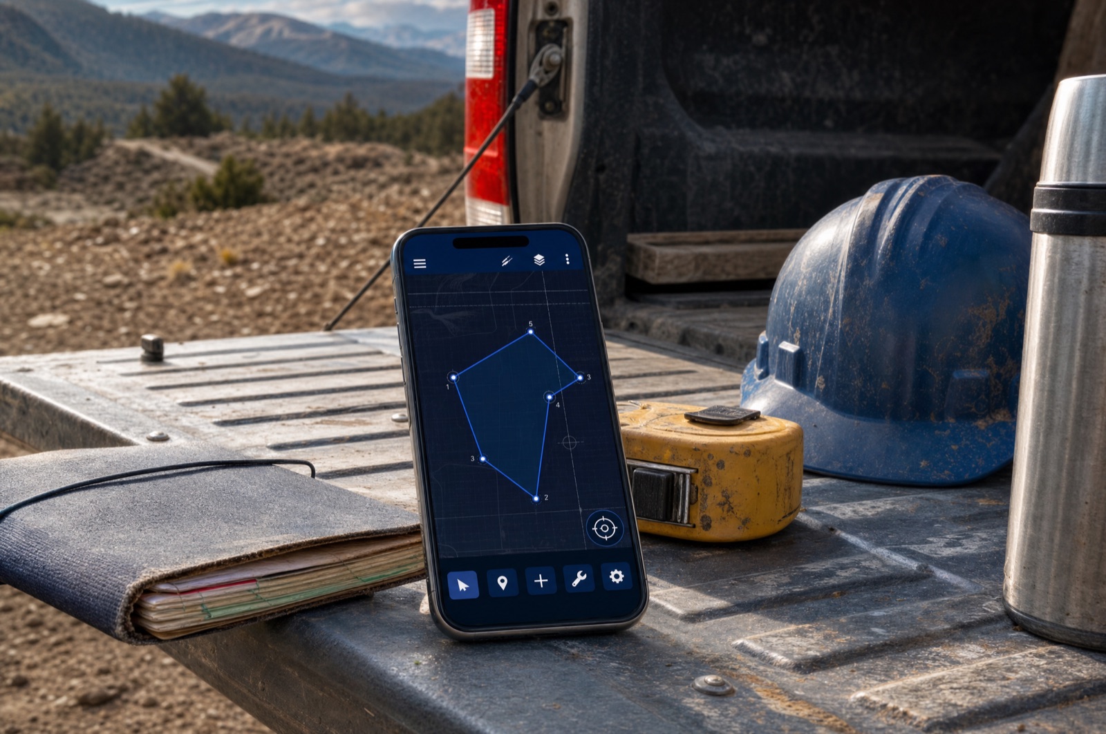


The full COGO toolkit — from a quick inverse to a balanced boundary traverse, a parcel subdivision, and a CAD handoff — in one offline app.
Enter bearings and distances — quadrant or azimuth, DMS, decimal, or packed Topcon-style DDD.MMSS — and watch live running coordinates, misclosure, and precision ratio (e.g. 1:12,510) update as you type.
Enter deed calls with circular arcs — chord bearing + radius + arc length + left/right — straight into the leg list. Closure, area, plot, DXF bulges, and the PDF report are all arc-aware.
Balance a traverse by the Bowditch (Compass) or Transit rule for defensible, adjustable records.
Enclosed area in acres or hectares; inverse between any two points for distance, azimuth, and quadrant bearing. Radiations mode: bearing + distance from one occupied point to every other at once.
Solve a full circular curve from any two knowns — R, Δ, arc, tangent, chord, E, M, degree of curve — with PC/PT coordinates.
Bearing–bearing, bearing–distance, distance–distance intersections and 3-point (Tienstra) resection from existing control.
PI-chained tangents with circular curves and clothoid spirals; stationing, coordinate-at-station, station + offset, and stakeout along the alignment.
Auto-fit sketch with vertex labels, north arrow, scale bar, and a dashed misclosure gap. Tap any point to inspect.
Generate a metes-and-bounds deed description from a closed traverse — ready to paste into a legal document.
Predetermined / hinged area: solve a missing bearing/distance, a parallel cutoff, or a hinged line so a parcel hits a target area.
UTM converter (offline WGS84 ↔ UTM) and State Plane Coordinates SPCS83 (Lambert + Transverse Mercator on GRS80/NAD83) with grid scale factor, convergence, and combined grid↔ground factor.
"Theo" answers questions about your job and drafts traverse legs from plain-English prompts using Apple Foundation Models — entirely on device, nothing leaves your phone.
Free covers one job and up to ten points with full on-screen computation — including free CSV, PDF, and DXF export. COGO Pro unlocks unlimited jobs & points, Compass/Transit adjustment, and enclosed-area output.
All three plans unlock the same "COGO Survey Calculator Pro" features. Prices are shown in the app in your local currency. Subscriptions are billed through your Apple Account and renew automatically unless cancelled at least 24 hours before the period ends; manage or cancel anytime in Settings. See the Terms of Use.
COGO Survey Calculator does not track you, show ads, or use any third-party analytics. Every job, point, and traverse is stored only on your iPhone or iPad. There is no account and no server — because the app never connects to one.
Read the privacy policy